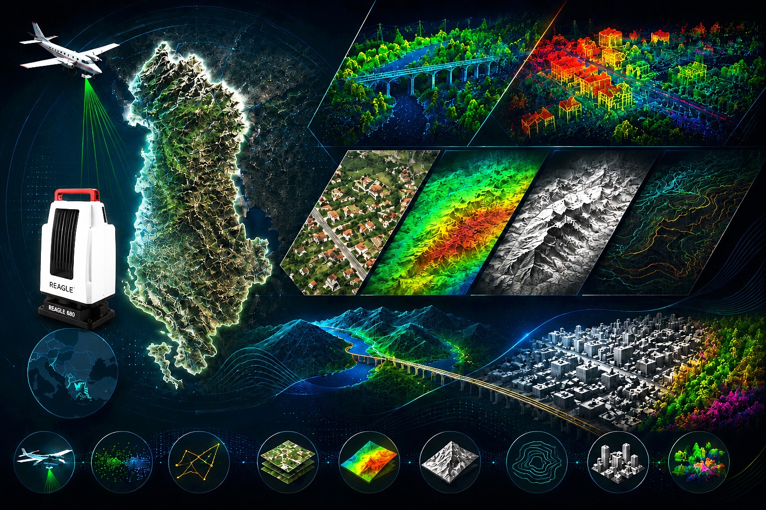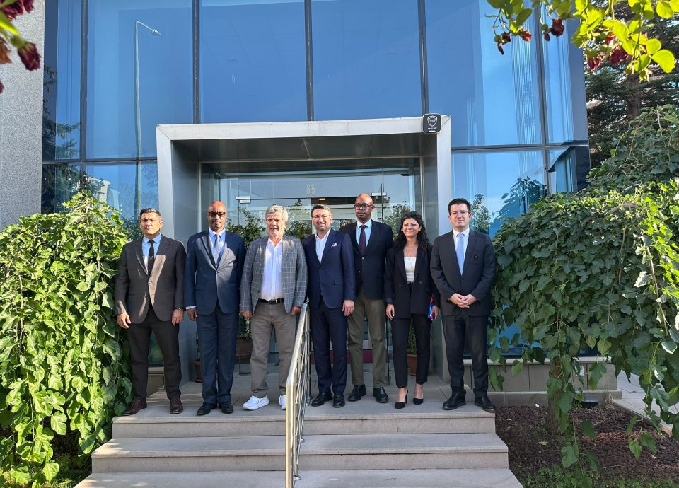


As Mescioglu Engineering and Consultancy, we are pleased to announce that the contract for the project titled “Intervention for Updating the National Geospatial Data System to Support Regional Development”, covering the territory of Albania (28,000 km²), has been signed with the Albanian Development Fund.
Within this strategic project, which will shape the future of the national spatial data infrastructure at the country scale, the following key activities will be carried out:
✈️ Production of nadir and oblique aerial imagery,
🛰️ Acquisition of LiDAR data,
🗺️ Production of DSM, DTM, True Orthophoto and Orthophoto datasets.
We take justified pride and responsibility in being part of this strategic initiative, which will contribute significantly to the modernization of Albania’s geospatial infrastructure.
With the motivation of representing our country in a project that creates value at the international level through high technology and a visionary approach, we aim to demonstrate our knowledge, technical capacity, and engineering strength at the highest level, leaving a lasting contribution to sustainable development.