


Surveying, Cadastre and GIS Services
Land Surveying & Cadastre
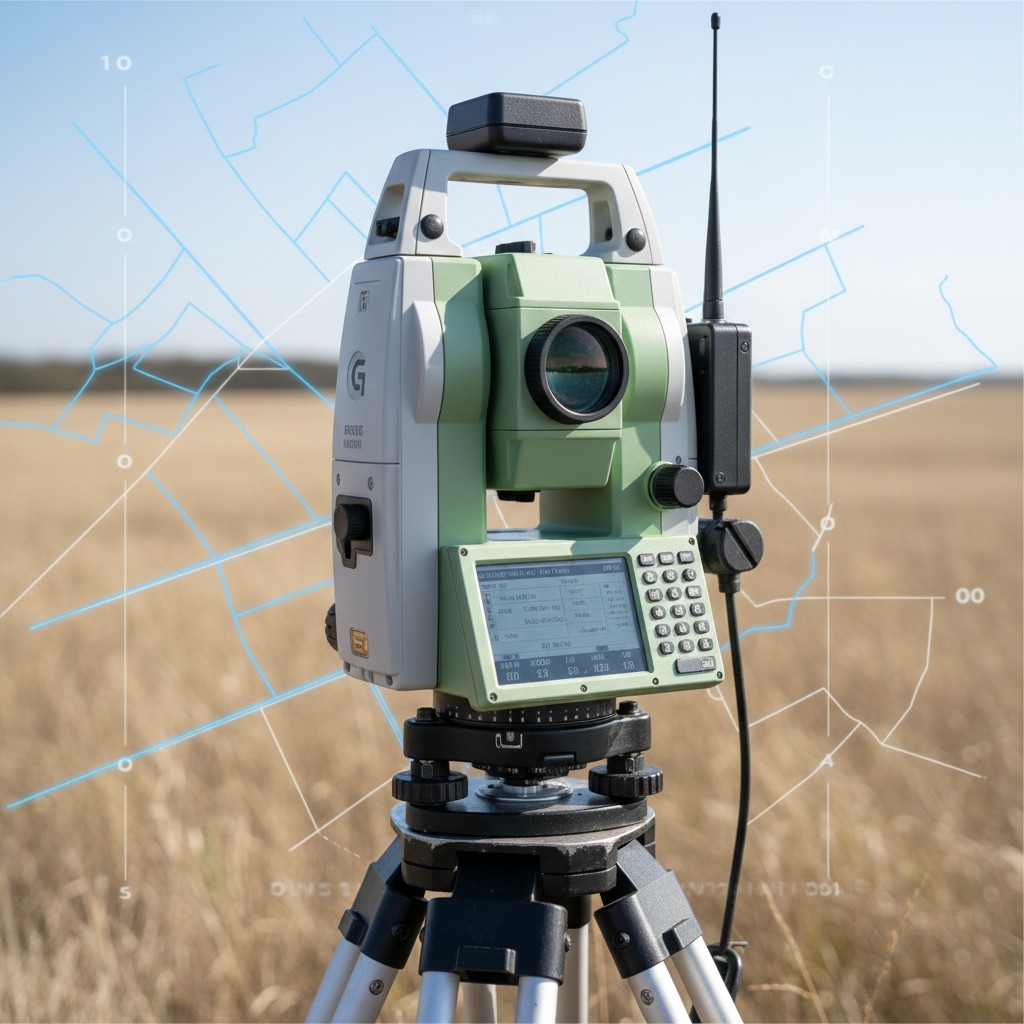
Our company provides comprehensive land surveying and cadastral services that ensure spatial precision and full compliance with national regulations. Backed by strong technical expertise and field experience, we support public institutions, private clients, and legal authorities throughout the entire land administration process.
Boundary & Property Surveys
Precise determination, verification, and documentation of land boundaries using modern surveying equipment and geodetic methods.
Cadastral Mapping & Land Registration
Preparation and updating of cadastral maps, parcel data, and spatial records in full compliance with official land registry standards.
Subdivision & Land Consolidation
Technical surveying services for parcel subdivision, land consolidation, zoning plans, and development applications.
Expropriation & Easement Surveys
Accurate spatial documentation and technical support for expropriation projects, infrastructure development, and utility corridors.
Title Deed & Legal Survey Support
Survey reports, maps, and expert technical documentation prepared for title deed transactions, legal disputes, and municipal processes.
Geodesy & Positioning System
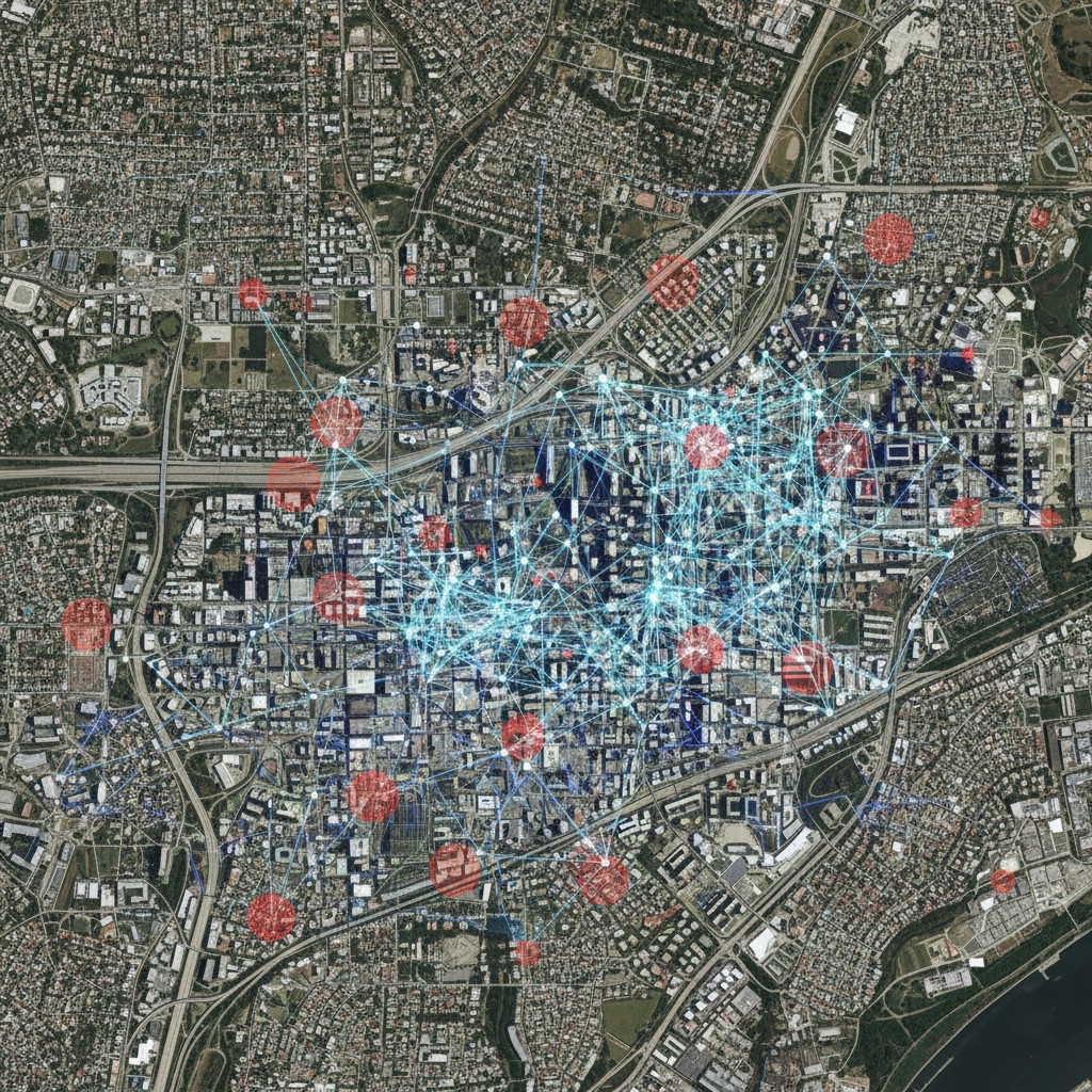
We provide advanced geodetic and positioning solutions that form the spatial foundation for precise mapping, engineering, and monitoring applications. By delivering reliable reference frames and high-accuracy positioning data, we support large-scale projects that require long-term stability and spatial consistency.
Geodetic Control Networks
Design, measurement, and data processing for horizontal and vertical control networks.
Establishment, densification, and network adjustment of geodetic control networks for mapping and infrastructure projects.
GNSS / GPS Network Services
Static GNSS survey and baseline processing.
Real-Time Kinematic (RTK) GNSS surveying and data management.
High-precision positioning utilizing permanent (CORS) and project-based GNSS networks.
Reference Systems & Datum Management
Geodetic network design compliant with national and local coordinate systems.
Datum transformation, coordinate system conversion, and transformation parameter estimation.
Integration of spatial project data with national and international reference frames (e.g., ITRF, ETRF).
Photogrammetric Surveying & LIDAR Scanning
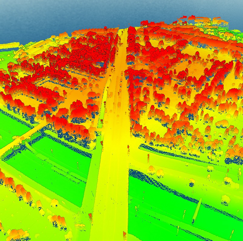
We deliver advanced photogrammetry and LiDAR-solutions that transform aerial imagery and point cloud data into accurate, high-resolution 2D and 3D spatial products. By integrating image-based modeling with LiDAR scanning technologies, we empower urban planning, infrastructure engineering, and smart city applications with high-precision spatial data.
Orthophoto Map Production
High-accuracy orthophoto and orthomosaic generation from aerial, UAV, and satellite imagery.
Radiometric and geometric correction for seamless, map-ready base layers.
Seamless integration with GIS platforms for spatial planning and decision support.
DEM, DTM & DSM Generation
Production of Digital Elevation Models (DEM), Digital Terrain Models (DTM), and Digital Surface Models (DSM) using photogrammetry and LiDAR data.
High-resolution elevation models tailored to project-specific accuracy standards.
3D City Modeling
Creation of detailed and scalable 3D city models (CityGML / LoD) representing buildings, terrain, and urban infrastructure.
Terrestrial, Mobile & Airborne LiDAR Scanning
Rapid corridor mapping for highways, railway networks, and urban environments.
High-density 3D point cloud acquisition for large-scale infrastructure and asset management.
Fast and efficient spatial data capture for complex site conditions.
Geographic Information System
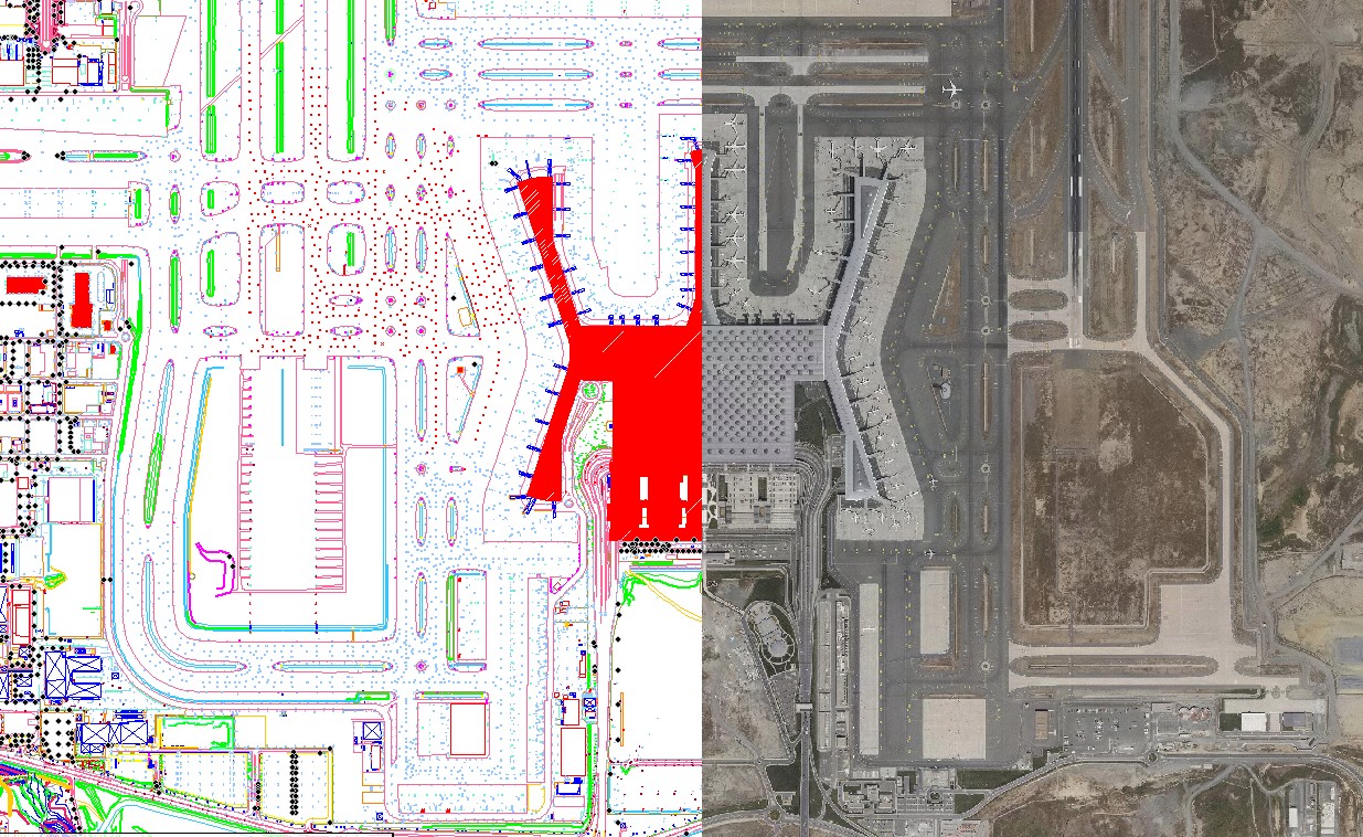
We deliver integrated GIS solutions that convert geospatial data into accurate, decision-ready information. Our services encompass the integration of high-resolution orthophotos into geographic databases, providing reliable spatial base layers for planning, spatial analysis, and infrastructure monitoring.
We design and manage spatial databases that ensure data consistency, system interoperability, and efficient multi-user access. In parallel, we develop GIS-based asset management systems that enable organizations to map, monitor, and manage infrastructure and utility assets throughout their lifecycle.
Our solutions support strategic decision-making by unifying precise spatial data with structured asset information within a scalable operational GIS environment.