


Surveying, Cadastre and GIS Projects

Updating the National Geospatial Data System to Support Regional Development Project (Albania) — [Ongoing Project]
Currently executing a comprehensive nation-wide geospatial update to modernize Albania’s National Spatial Data Infrastructure (NSDI). This ongoing project involves large-scale data acquisition via high-resolution nadir/oblique aerial photography and airborne LiDAR scanning. The final outputs—including high-precision Digital Terrain Models (DTM) and TrueOrthophotos—are being actively developed to serve as the foundational digital framework for sustainable regional planning and future smart-city applications.
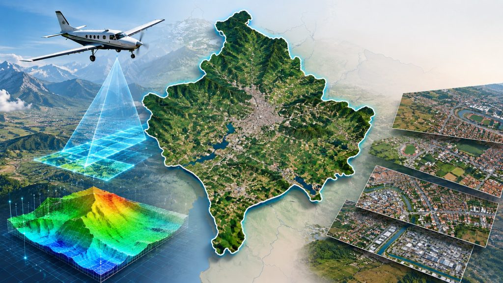
Aerial Photography, Orthophoto Production, and DSM/DTM (Surface and Elevation Model) Production for the Republic of Kosovo
The project involves providing comprehensive geodetic surveying, cadastral survey support, photogrammetric mapping, and geospatial data production services for the development of a high-accuracy national geospatial database for the Republic of Kosovo. The project includes the acquisition of nationwide aerial imagery, the production of high-resolution orthophotos, and the generation of Digital Terrain Models (DTMs), Digital Surface Models (DSMs), three-dimensional spatial objects, and vectorized geospatial datasets. These outputs established a reliable digital geospatial infrastructure to support cadastral surveying, land administration, spatial planning, infrastructure development, environmental management, and other Geographic Information System (GIS) applications throughout the country.

Systematic Land Adjudication and Certification (Slaac) Project İn Selected Districts Of Uganda
The project involves providing comprehensive land demarcation, cadastral survey, land adjudication, land registration, and implementation support services under the World Bank-financed Systematic Land Adjudication and Certification (SLAAC) Project in selected districts of Uganda. The project aims to strengthen land administration by systematically identifying, demarcating, surveying, adjudicating, and registering land parcels, while supporting the issuance of Certificates of Customary Ownership (CCOs) and improving the accuracy, transparency, and security of land tenure in accordance with the applicable legal framework and technical standards.
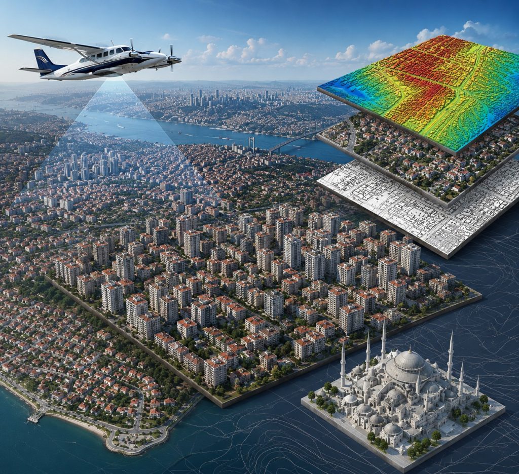
Production of 1/1,000 and 1/5,000 Scale Revision Base Maps, 1/1,000 Scale True Orthophoto Maps, and 3D City Models via Photogrammetric Methods within Istanbul Provincial Boundaries
The project involves large-scale spatial data capture, high-precision photogrammetric processing, and advanced geospatial modeling across the entire administrative territory of Istanbul Province. Executed for the Istanbul Metropolitan Municipality (IBB), the primary objective was to deliver up-to-date, comprehensive, and high-resolution base datasets to support urban planning, infrastructure development, municipal asset management, and smart city applications.
The scope encompasses airborne data acquisition, large-scale topographic mapping revision, high-resolution true orthophoto generation, and the creation of detailed 3D digital urban models for the 6,000 km² project area, point clouds, digital surface and elevation models, and 1/1,000 scale photogrammetric vector maps were produced from 440,000 nadir and oblique aerial photographs. Istanbul’s stock of over 1.5 million main buildings and annexes was transformed into digital twins at the LoD2 level, adhering to international CityGML standards. Consequently, the Istanbul Metropolitan Municipality has been provided with the most comprehensive 3D city model, supporting the smart city vision of the future.

Procurement of Services for Railway Infrastructure Mapping and Inventory Analysis via Terrestrial and Airborne Mobile LiDAR Scanning (TCDD 1st, 2nd, 6th, and 7th Regional Directorates)
This project includes comprehensive inventory identification and high-precision mapping of railway corridors by integrating terrestrial and airborne mobile LiDAR scanning. Additionally, this project involves large-scale asset data extraction and precise geodetic measurement across multiple regional jurisdictions, optimizing infrastructure management and planning.

TANAP 1,800 km Natural Gas Pipeline Route Mapping via LiDAR Scan
This project includes route mapping and corridor analysis of a 1,800 km natural gas pipeline utilizing high-density airborne LiDAR point cloud acquisition and processing.

Production of Basemaps for the TCDD 5th Regional Directorate Railway Line Territory (1,045 km)
This project involves the production of 1,045 km of high-precision basemaps using advanced geodetic surveying methods for the existing railway corridor.

Geospatial Engineering & Regulatory Compliance for over 100 Renewable Energy Projects (Wind & Solar)
The projects include the management of the end-to-end geoSpatial surveying, mapping, and regulatory approval processes for over 100 Wind (WPP) and Solar (SPP) power plant projects nationwide. The scope of work encompass the production of high-precision base maps at 1:1,000 and 1:5,000 scales, technical site characterization, and securing official site permits and land acquisition clearances for project sites exceeding a total area of 14,000+ hectares (including major developments such as Günışığı, Uranüs, Erimez, and Göktepe).

Consultancy Service Procurement for the Production of 1/1,000 Scale Orthophoto Maps within an Area of Approximately 12,000 km² Covering the Bursa Provincial Administrative Boundaries, and the Production of 1/1,000 and 1/5,000 Scale Vector Maps within an Area of Approximately 8,500 km² (M5)
This project involves providing consultancy services for the production of high-resolution geospatial datasets to support the planning, design, and GIS-based applications of the Bursa Metropolitan Municipality and the General Directorate of BUSKİ. The project covers approximately 12,000 km² for the production of 1:1,000-scale digital orthophotos and approximately 8,500 km² for the production of 1:1,000- and 1:5,000-scale vector maps.

3D Cadastre and High-Resolution Orthophoto Production Projects for the General Directorate of Land Registry and Cadastre (TKGM) (+2M buildings over 10 cities)
These projects involve providing comprehensive cadastral surveying, land demarcation, land registration support, photogrammetric mapping, and implementation support services for the General Directorate of Land Registry and Cadastre across 10 cities, covering more than 2,000,000 building structures. The projects supports the modernization of Türkiye’s national cadastre through the updating of cadastral maps and records, verification of parcel boundaries, integration of cadastral and land registration information, and preparation of legally valid cadastral documentation in accordance with Turkish cadastral legislation and national technical standards. The services also include the production of high-precision orthophotos and the development of three-dimensional cadastral models, establishing a foundational geospatial digital twin framework to support land administration, urban planning, asset management, and other GIS-based applications.