Acquisition and Creation of Orthophotos under Digitisation of Land Parcel Identification System
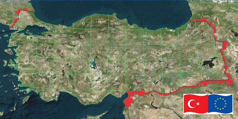
This project was awarded by Turkish Ministry of Food, Agriculture and Livestock to Mescioglu Engineering in 2014. It is considered as the world’s largest project of its kind with a single contract. The goal of the project was to provide a source map for their Land Parcel Identification System (LPIS) database. The project included the acquisition of 30cm GSD resolution of digital aerial imagery, installation of 1875 ground control points, extraction of high resolution digital elevation model (DEM) and generation of orthophotography of the entire country (more than 800 000 km2). An impressive production capacity was mobilized (including 7 aircraft and more than 140 professionals) and the project was successfully completed within a record time of 18 months.